
A Landscape Through Time
Nine historical maps. Two and a half centuries of cartographic history.
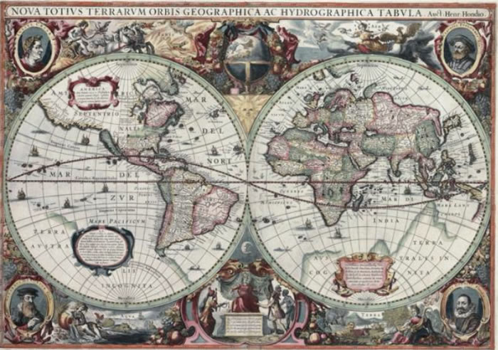
1630 · MAP 01
The World as They Knew It
Hendrik Hondius
A richly decorated world map that captures the boundary between geographical discovery and inherited belief. A compelling opening to the collection.
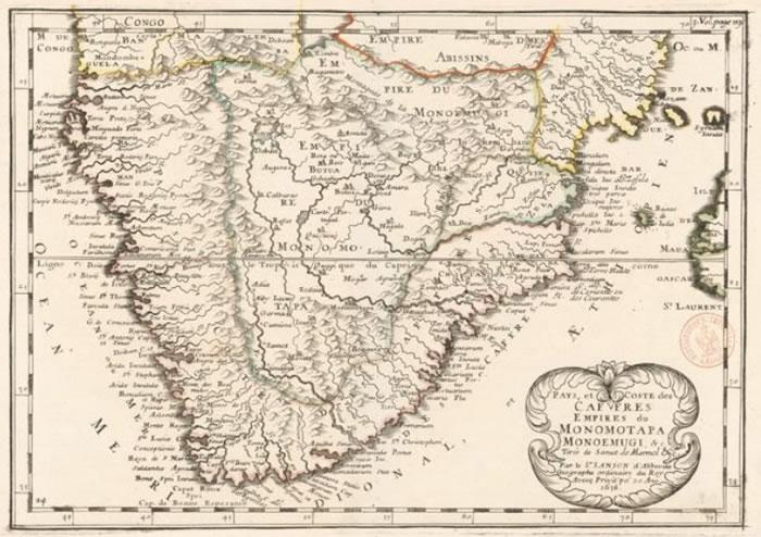
1656 · MAP 02
Southern Africa: Knowledge and Myth
Nicolas Sanson
Explore the Cape, the Mutapa kingdom and early European representations of southern Africa's interior.
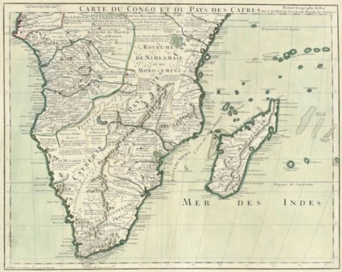
1708 · MAP 03
Mapping a Vast Continent
Guillaume de L'Isle
Discover the move towards more scientific mapping, alongside the geographical misconceptions that remained.
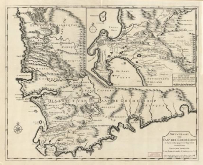
1726 · MAP 04
The Cape in Detail
François Valentijn
Two maps on one sheet document the Cape Peninsula, False Bay, the surrounding districts and early colonial farms. This is a key map in the collection.
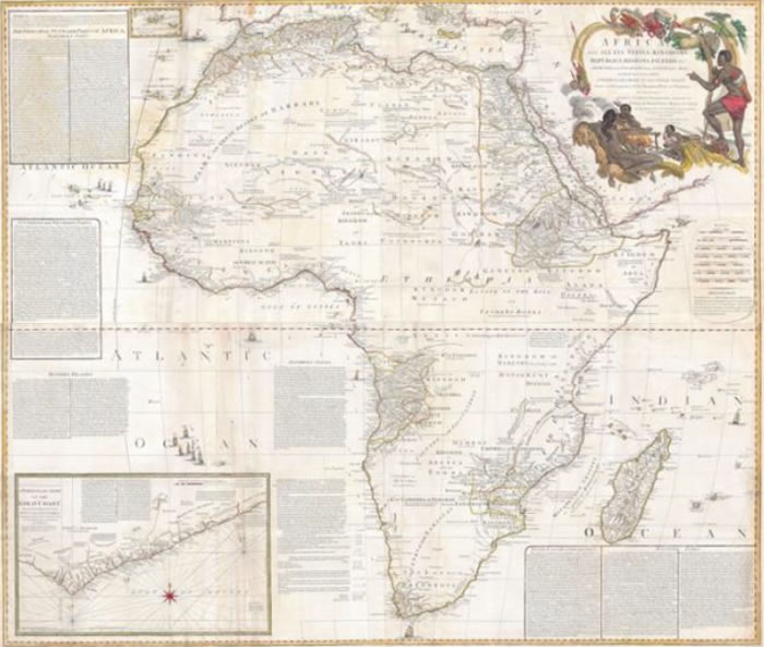
1787 · MAP 05
Africa, Trade and Empire
Samuel Boulton
A continental view with commercial annotations, trade information and a detailed inset of the Gold Coast.
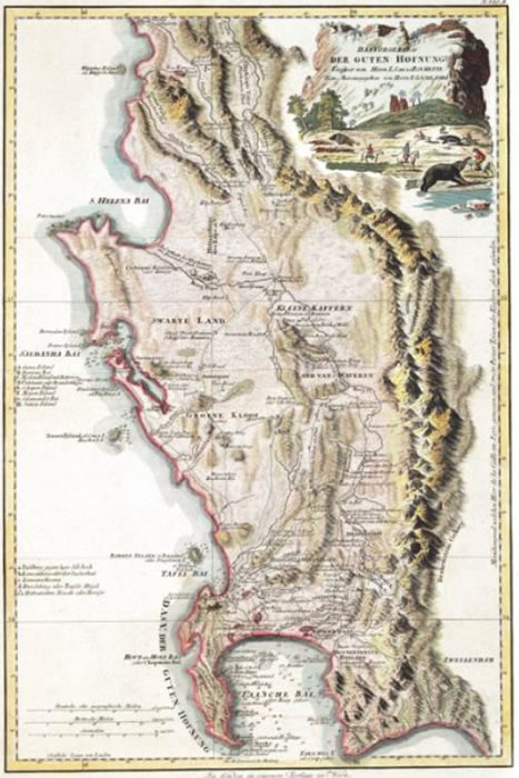
1789 · MAP 06
The Cape Across Europe
Franz Anton Schraembl
A German-language edition of a British-derived map illustrates how geographical information about the Cape circulated internationally.
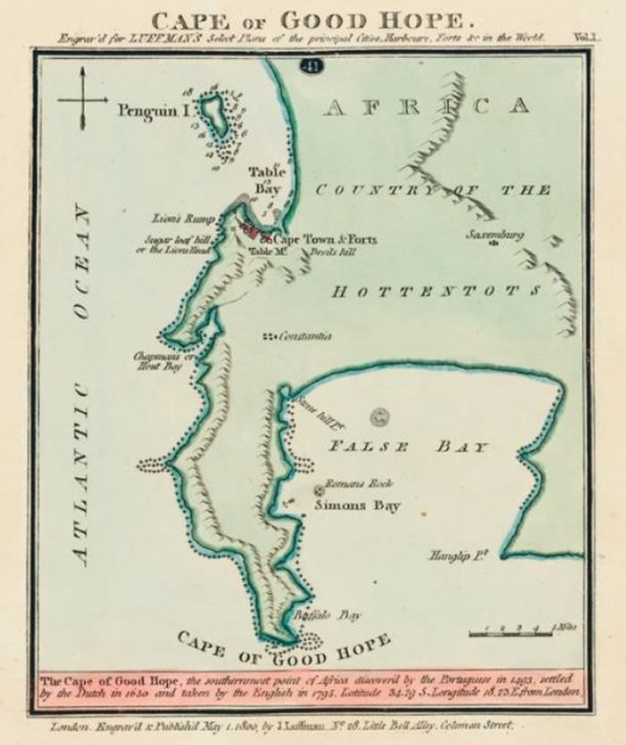
1800 · MAP 07
The Cape Across Europe
Franz Anton Schraembl
A German-language edition of a British-derived map illustrates how geographical information about the Cape circulated internationally.
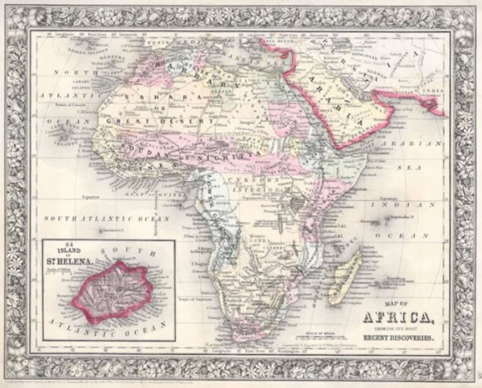
1864 · MAP 08
Africa in an Age of Exploration
Samuel Augustus Mitchell
Explore changing representations of Africa's interior as reports from nineteenth-century expeditions reached mapmakers.
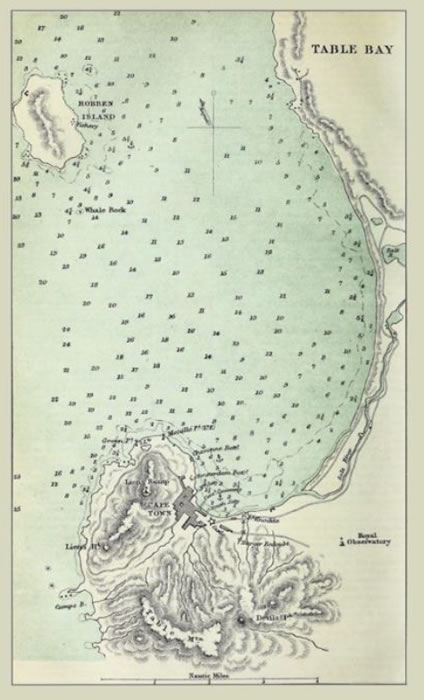
1880 · MAP 09
Table Bay: A Working Harbour
Published by Longmans
End the journey with a practical navigational map showing the bay, soundings, landmarks and harbour infrastructure.


